A hail path is the narrow strip where a single storm drops its large stones. Storms that look alike on radar can leave one suburb untouched and the next one dented. Here are severe storm days we followed in eastern New South Wales, with where the worst hail fell.
Why paths matter
Hail rarely falls evenly. The big stones come from the core of a supercell, and they fall in a path that is often only a few kilometres wide and many kilometres long. Knowing which side of the storm the stones fell on, and how big they were, tells you where the damage is, and where cars need checking.
Storm events archive
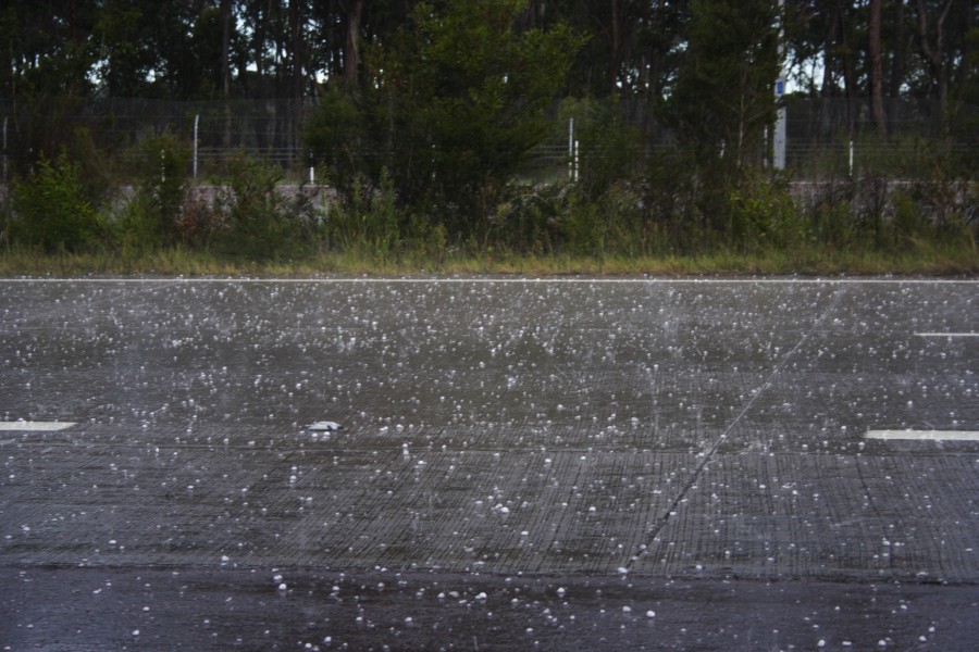
15 March 2009
Karuah to Bulahdelah, Hunter region
Severe storms hit the Hunter, but the most intense cells, the ones producing large hail, were near Karuah and Bulahdelah. Stones to 3 cm were widespread along the path and may have been larger in the main core. They fell mostly ahead of the core, under the anvil.
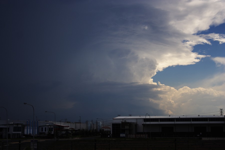
23 February 2009
West of Sydney
No storms were forecast for Sydney that day, yet cells developed further west. This one showed classic supercell structure with a clear hail shaft. It tried twice to organise, then exploded upwards into a powerful updraft before slowly declining.
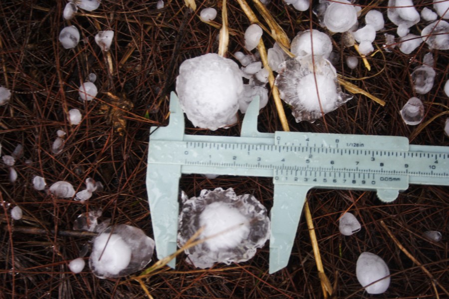
10 February 2009
Lithgow to Lake Macquarie
A fast-moving, probably elevated supercell dropped hail measured at 4 cm near Lake Macquarie, and as it raced across it cleared the low cloud around it. A second, sharp right-moving storm came in from Mudgee and caused hail damage in Lithgow.
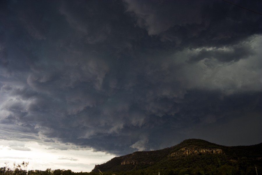
21 December 2009
Putty Road to Singleton
A long-lived supercell tracked down the Putty Road north of Sydney and hit Singleton head on, with very large hail and extensive damage. It was the second supercell to threaten the town that year.
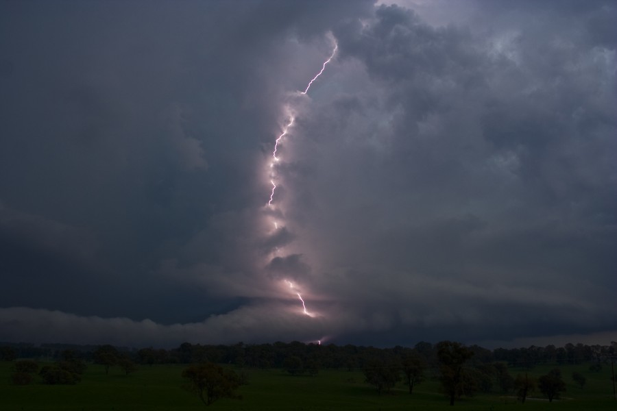
14 January 2010
Walcha
High CAPE (stored storm energy) and weak wind shear, yet the supercell developed excellent structure, with a beaver tail at its base for some time. Lightning was incredible, with sparks seen on power lines, and stones to 3 cm fell.
More from the archive
Storms exploded over the Putty region despite weak shear. Large hail fell, with microbursts near Jerrys Plains.
Several supercells developed, at least four showing a hook echo on radar, a feature not seen before on an Australian radar. Very large hail smashed windscreens around Portland.
Hail path maps: coming
We are building hail-path maps and storm summaries for Australian storm days. These pages show archived events only. They are not warnings. For current warnings use the Bureau of Meteorology.
Photographs: our own storm chasing. Event descriptions are summaries of the day as observed.